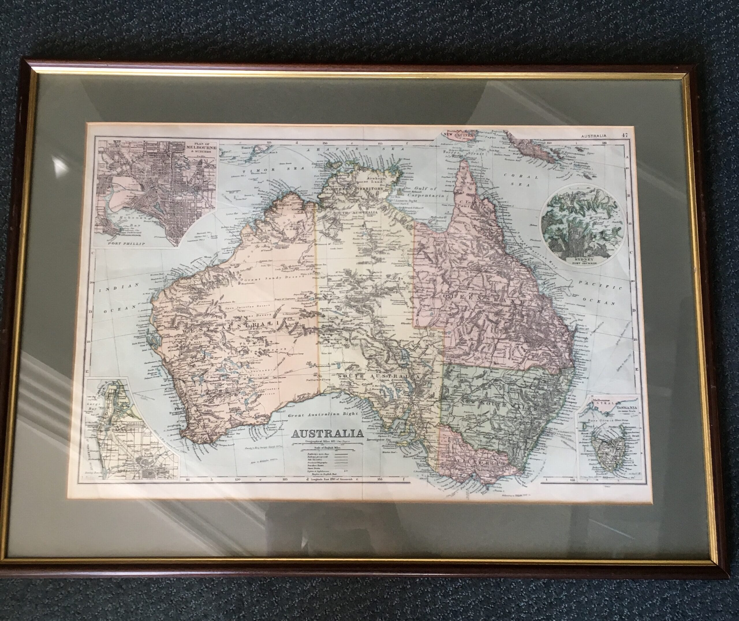
NEW HOLLAND: Thomson map of Australia & Region, 1814
Sold
Early map of ‘NEW HOLLAND AND ASIATIC ISLES’, Issued Edinburgh, 1814 by Thomson, Printed by Ramsay, one of the largest and most detailed English maps to focus on this region in the early 19th century.
frame 79x89cm, visible 63×51.5cm
Condition: good with minor signs of age
| Condition | |
|---|---|
| Size | visible print 62x53cm , frame 89x79cm |
| References |
Sold - let us find you another
