Australian Map
Showing all 5 resultsSorted by latest
-

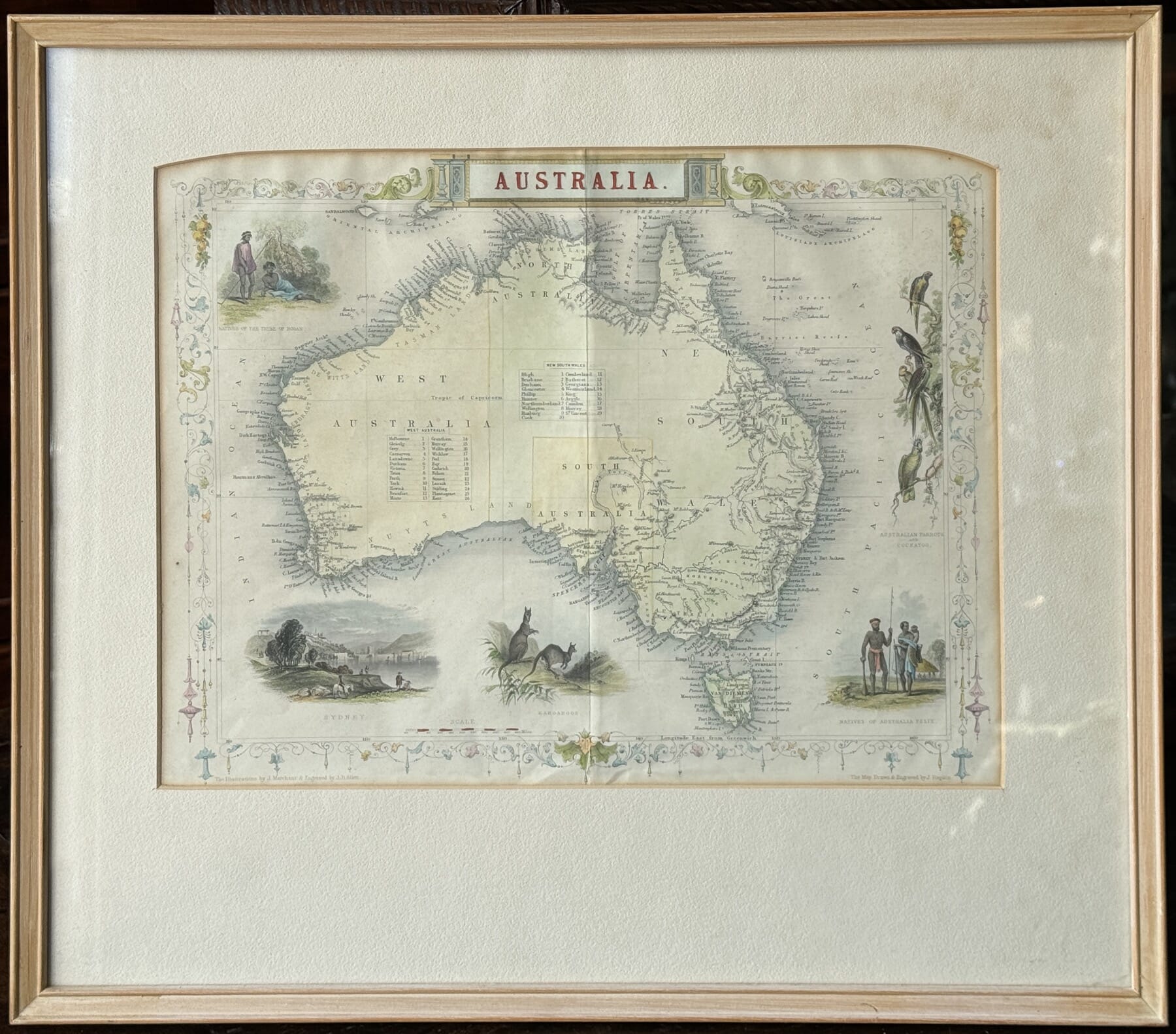
1851 Illustrated Map of Australia, Aborigines, Parrots, Sydney view, by John Tallis 1851
$850.00 AUD#1033780View item -
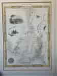
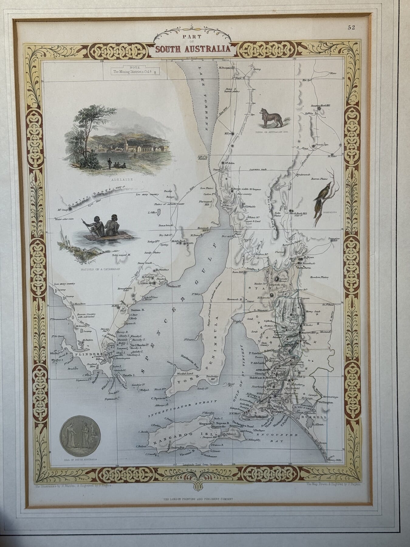
Illustrated Map of South Australia, after John Tallis, c. 1860
$385.00 AUD#1033570View item -

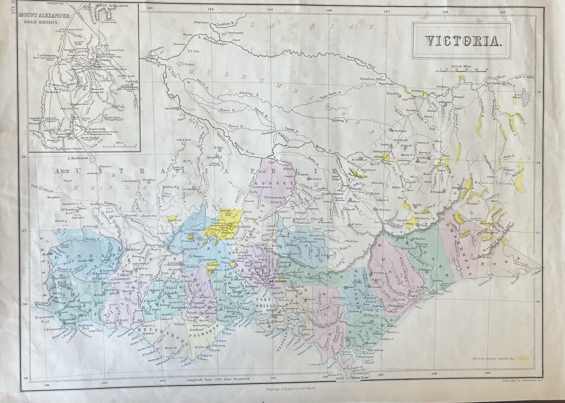
Victoria Goldfields print, showing Counties, with close-up of Goldfields, published Edinburgh 1854
Sold#1030690View item -

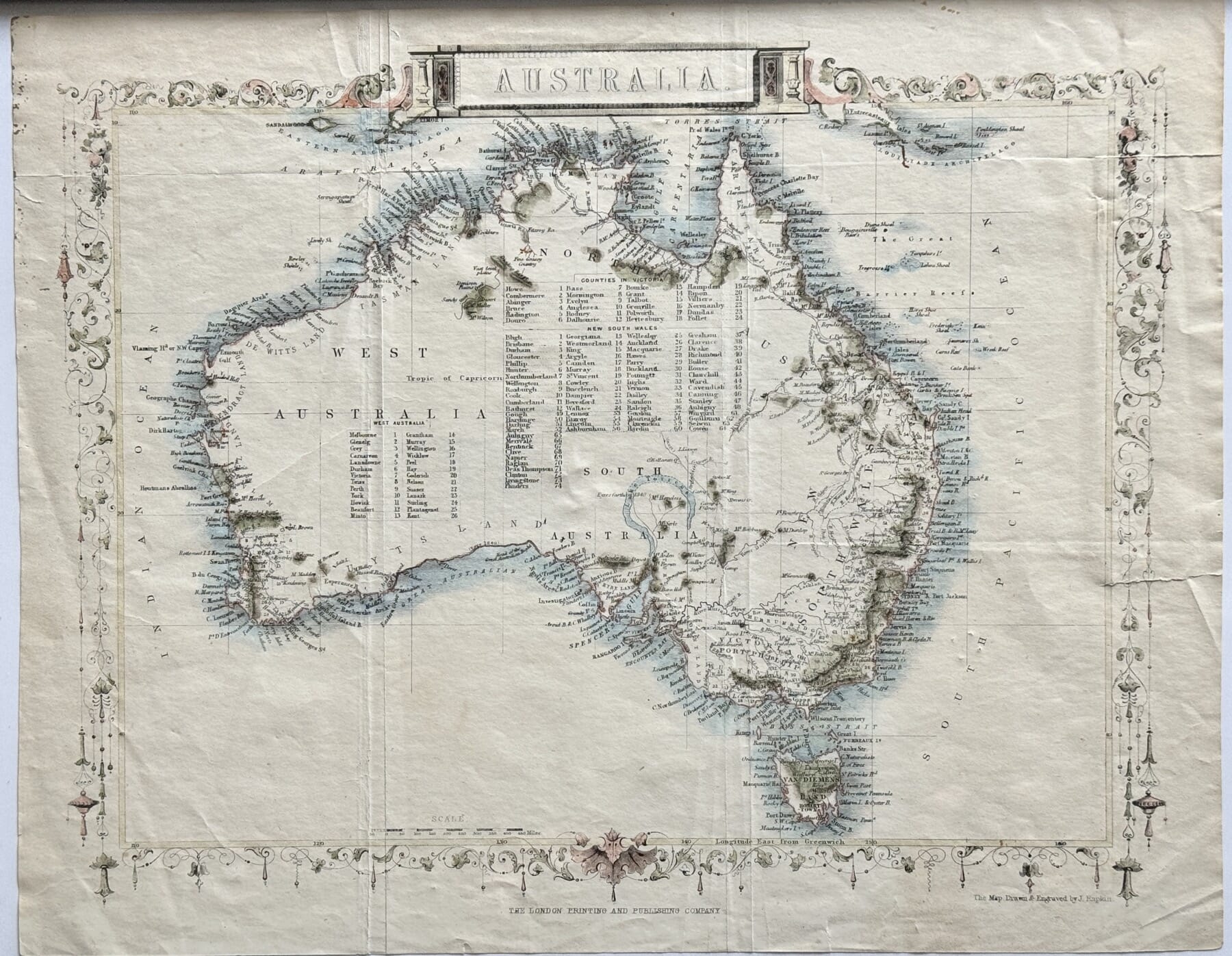
Hand Coloured Australia map, after John Tallis ‘Great Exhibition’ map, 1860’s
$295.00 AUD#1030689View item -

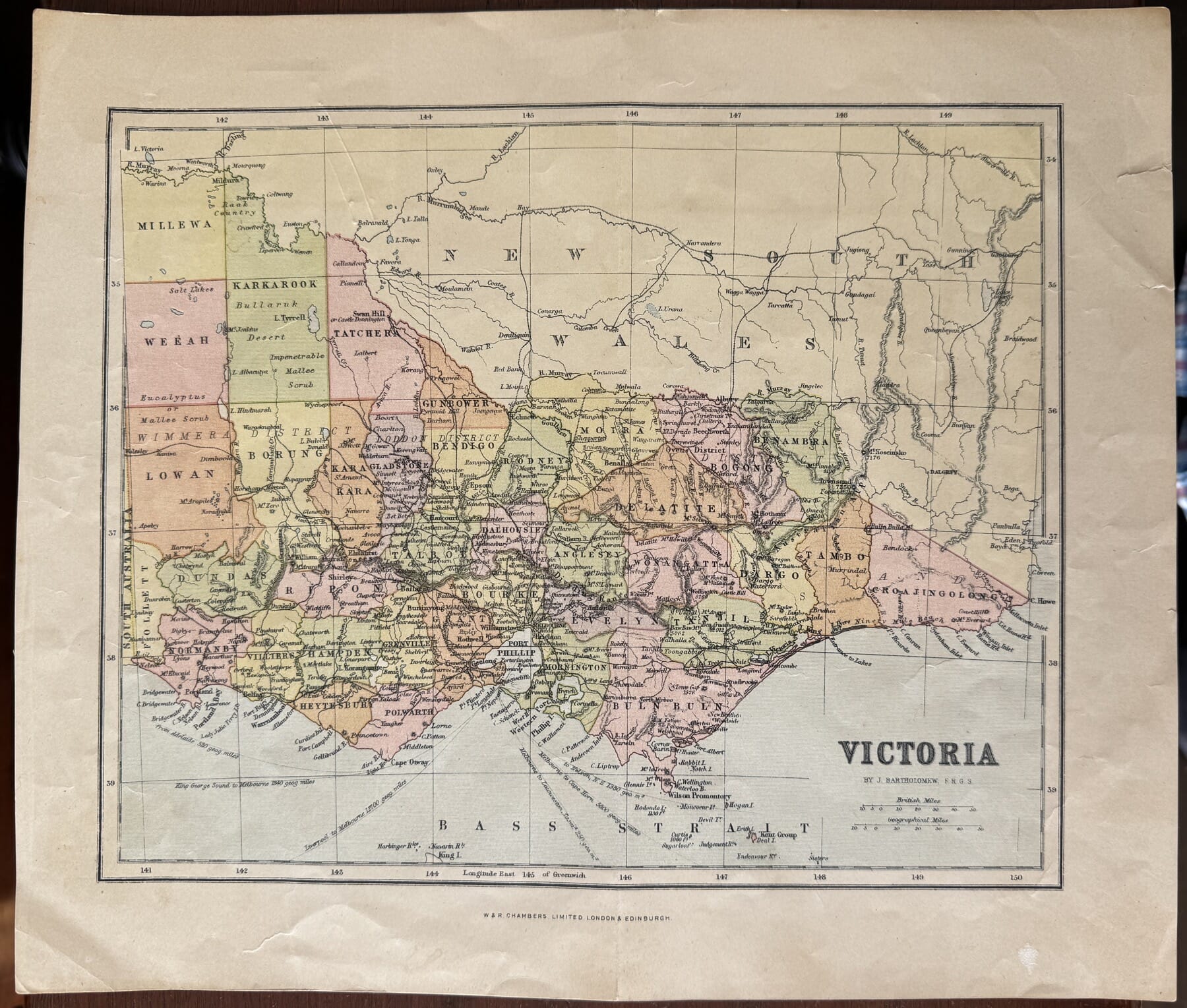
Decorative Victoria print, by Bartholomew London 1876
$85.00 AUD#1030688View item
Showing all 5 resultsSorted by latest
