Maps
Showing all 13 resultsSorted by latest
-
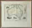
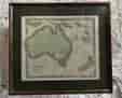
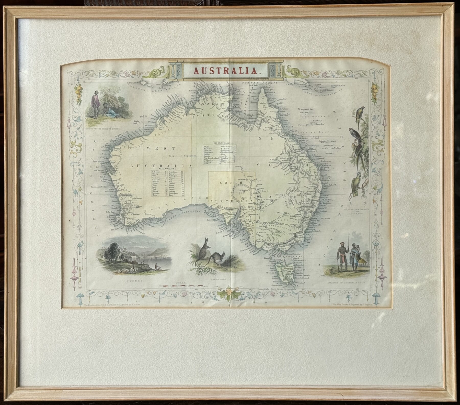
1851 Illustrated Map of Australia, Aborigines, Parrots, Sydney view, by John Tallis 1851
$850.00 AUD#1033780View item -
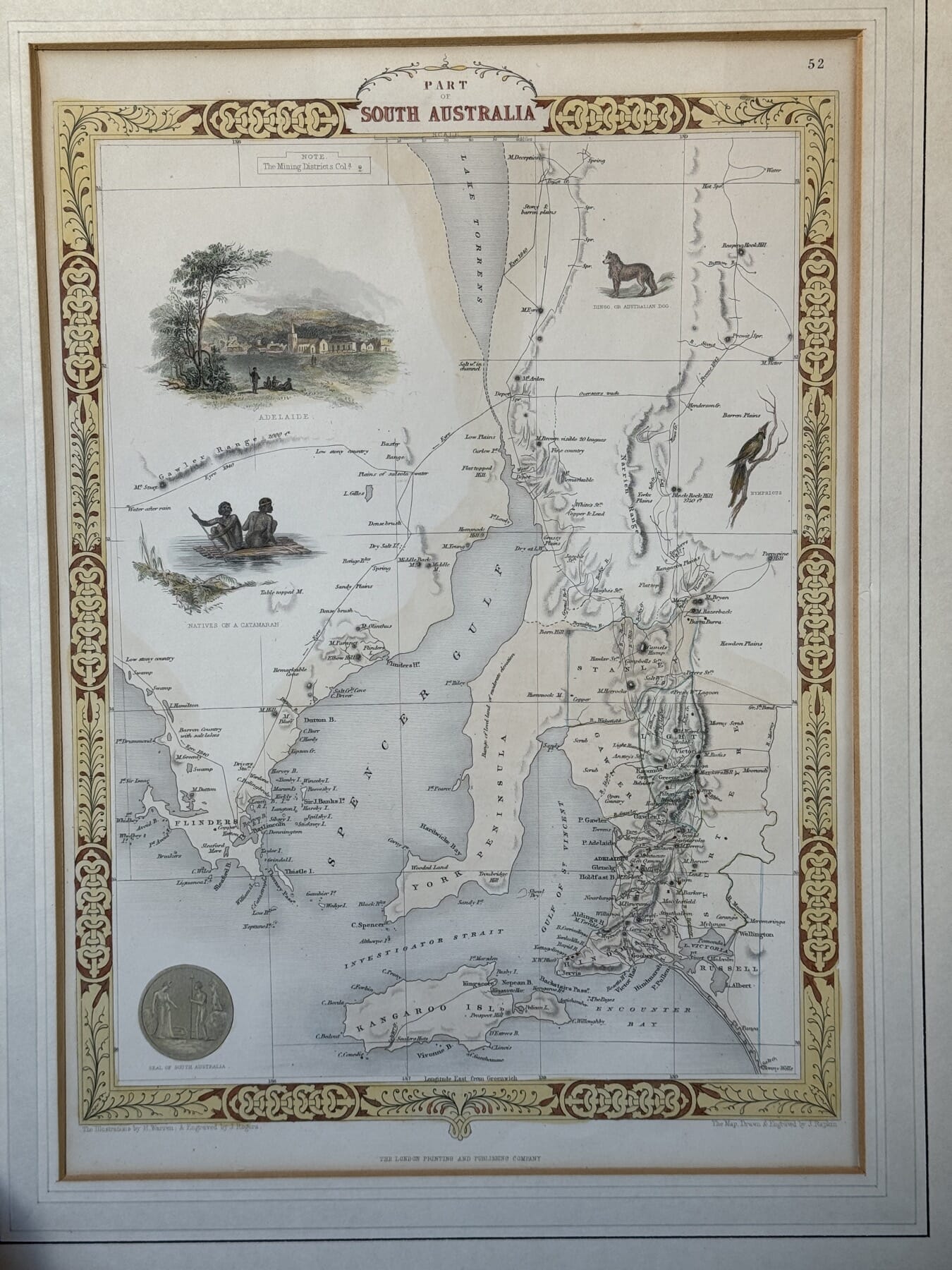
Illustrated Map of South Australia, after John Tallis, c. 1860
$385.00 AUD#1033570View item -
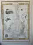
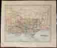
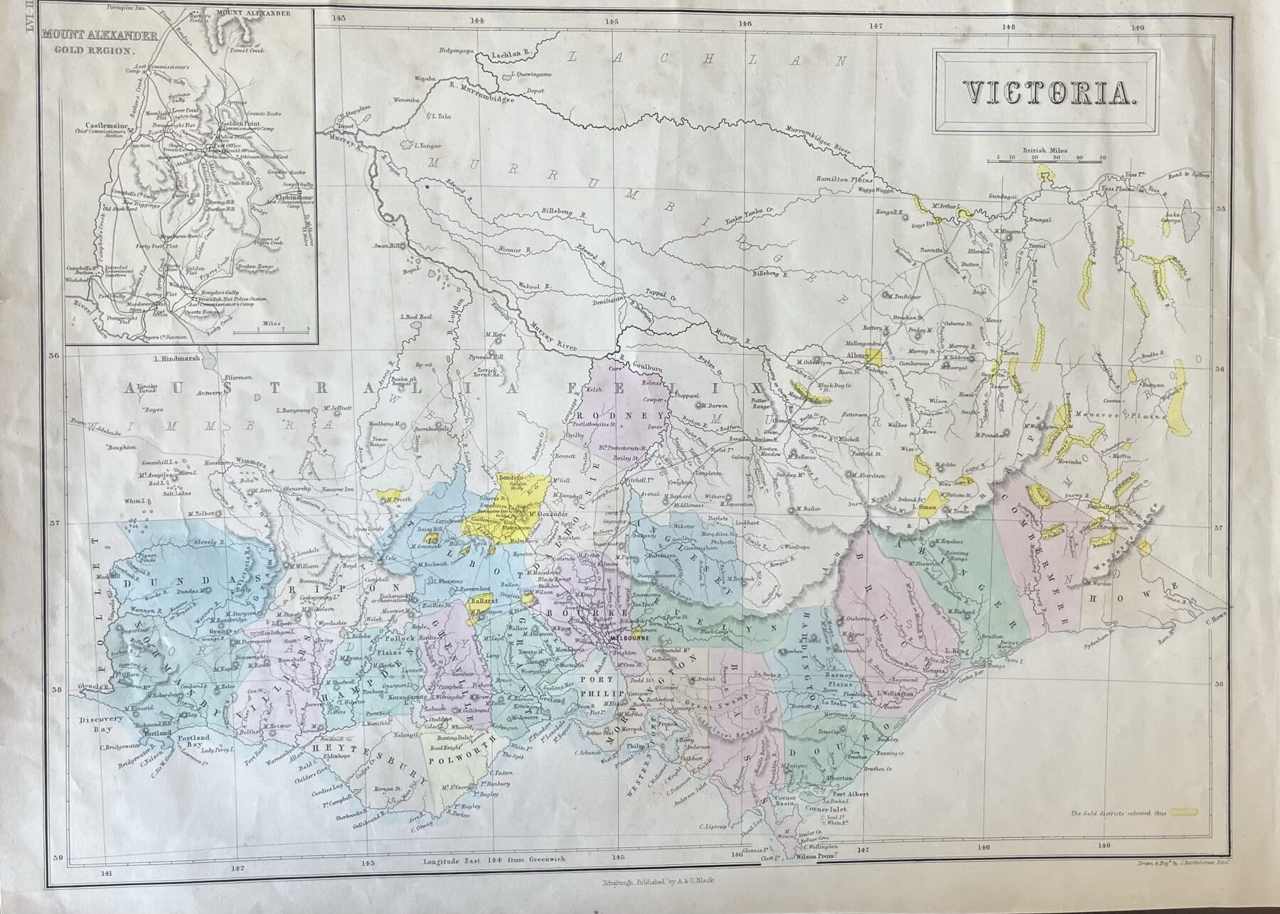
Victoria Goldfields print, showing Counties, with close-up of Goldfields, published Edinburgh 1854
Sold#1030690View item -
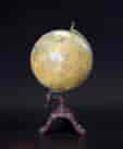
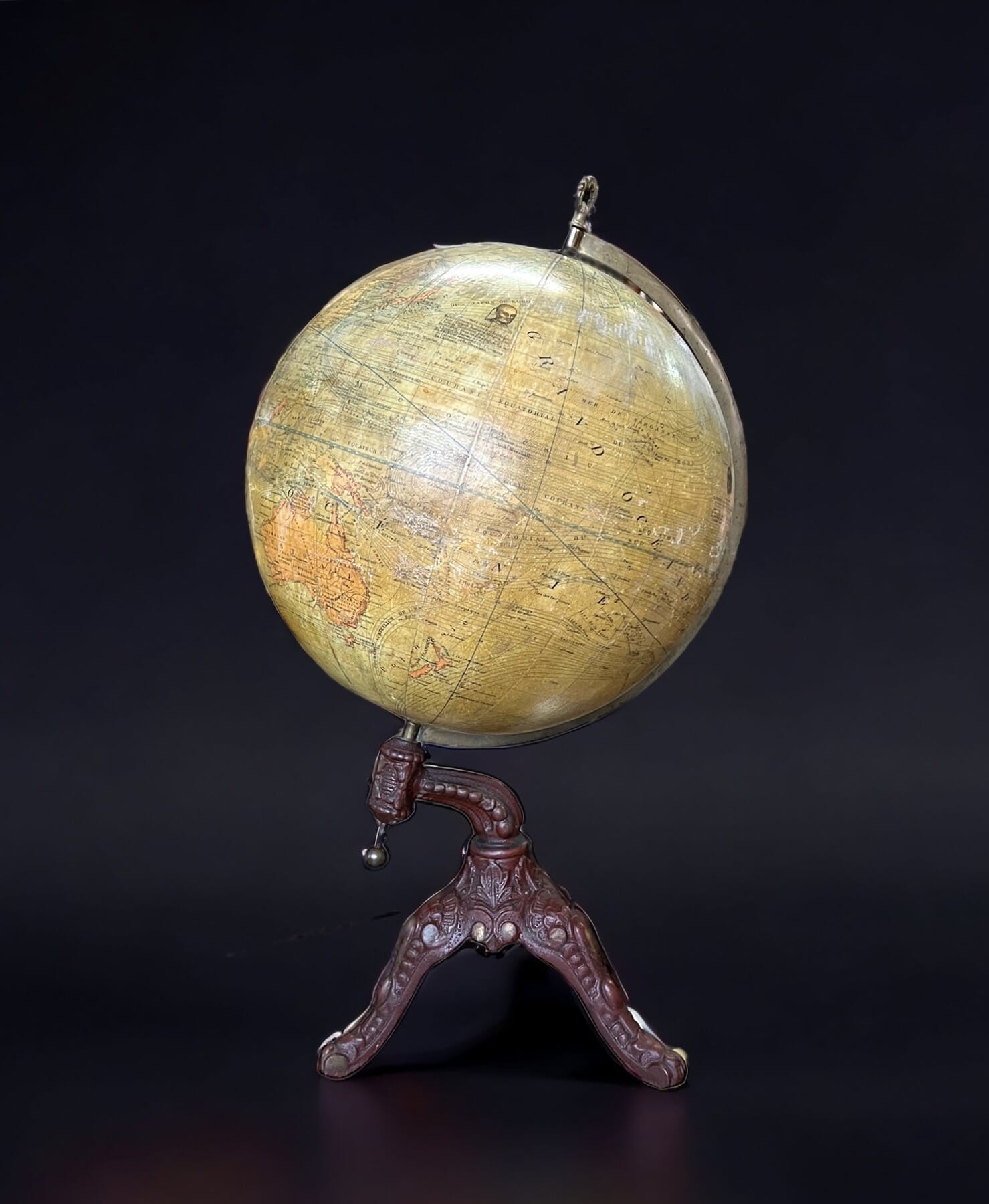
Brussels world globe on cast iron stand, by Balieus + Windels, 1920’s
$1,450.00 AUD#1032028View item -
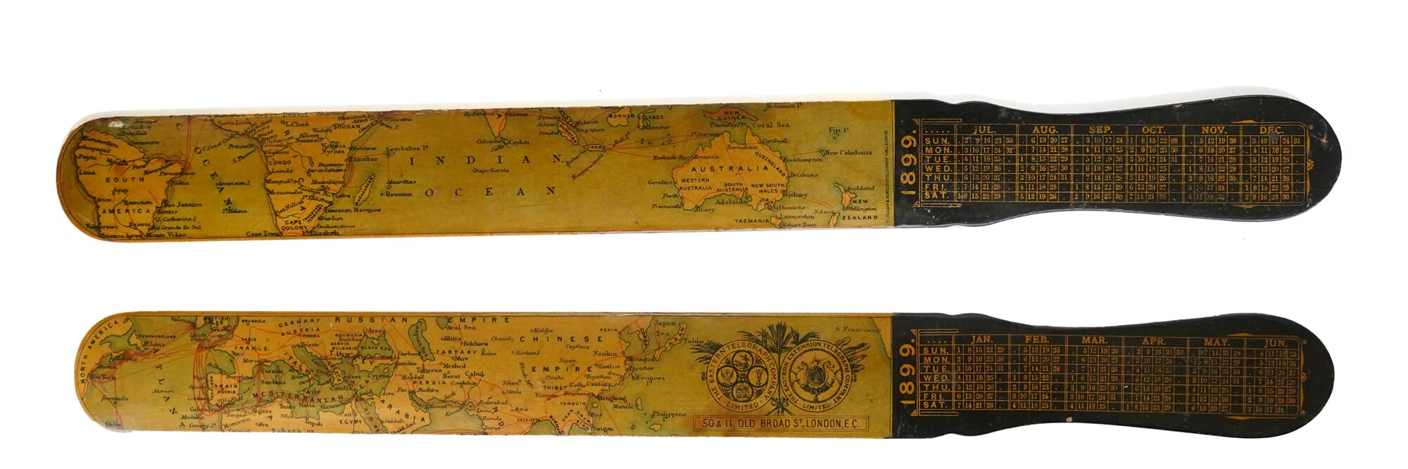
Rare 1899 Eastern Extension Telegraphic Company ‘page turner’ with maps, calendar
$545.00 AUD#1031890View item -
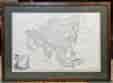
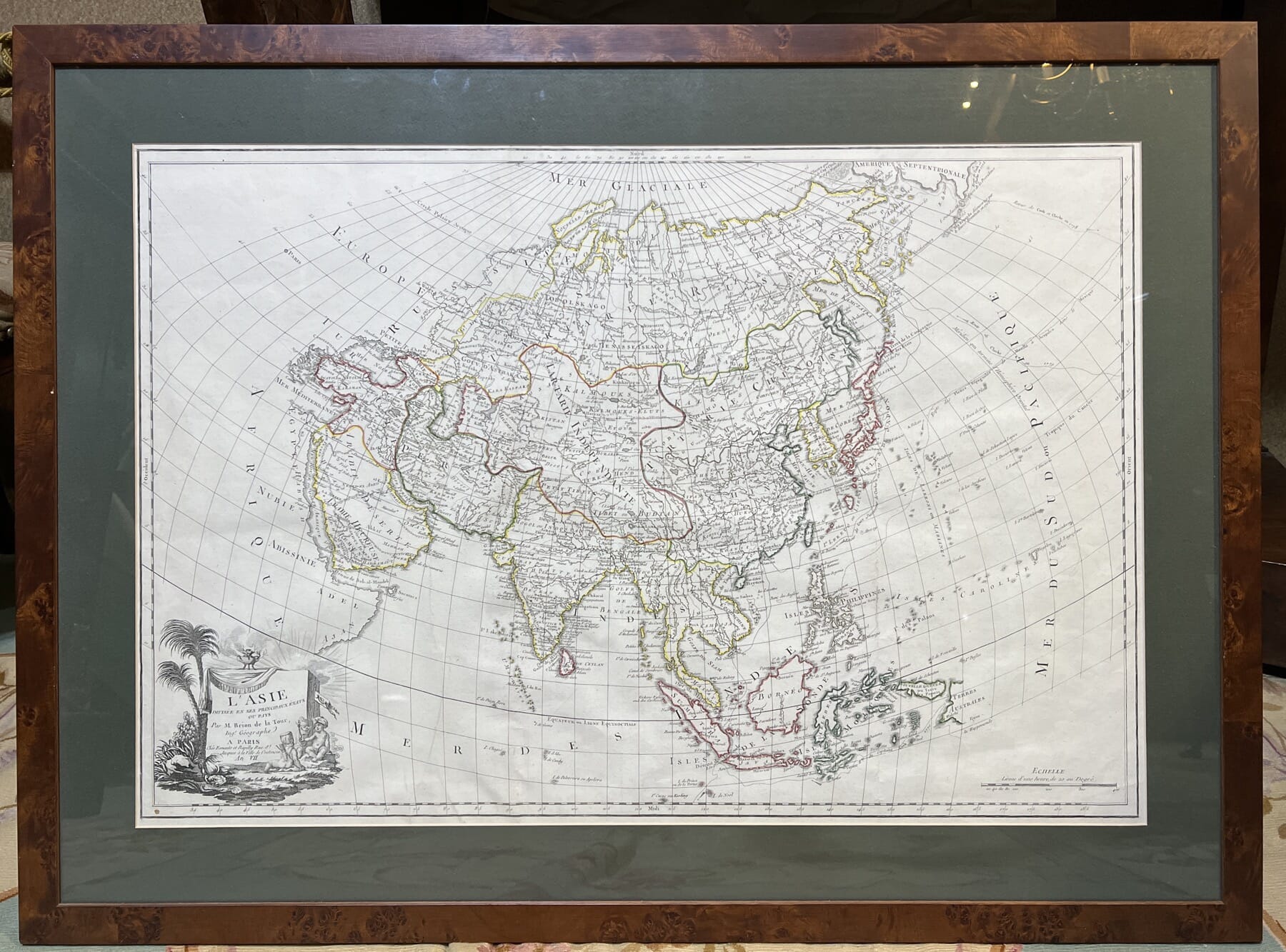
Large French map, Asia, by Lois Brion de la Tour, Paris, year VII (1798)
$1,680.00 AUD#1017359-1View item -
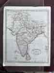
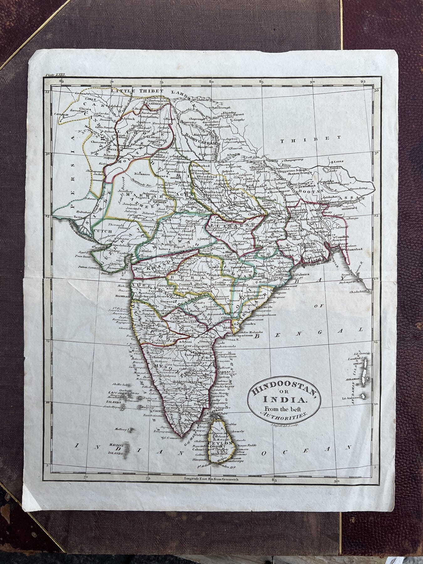
Handcoloured map, ‘HINDOOSTAN OR INDIA From the beft Authorities’
Sold#1031023View item -
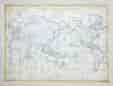
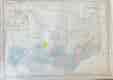
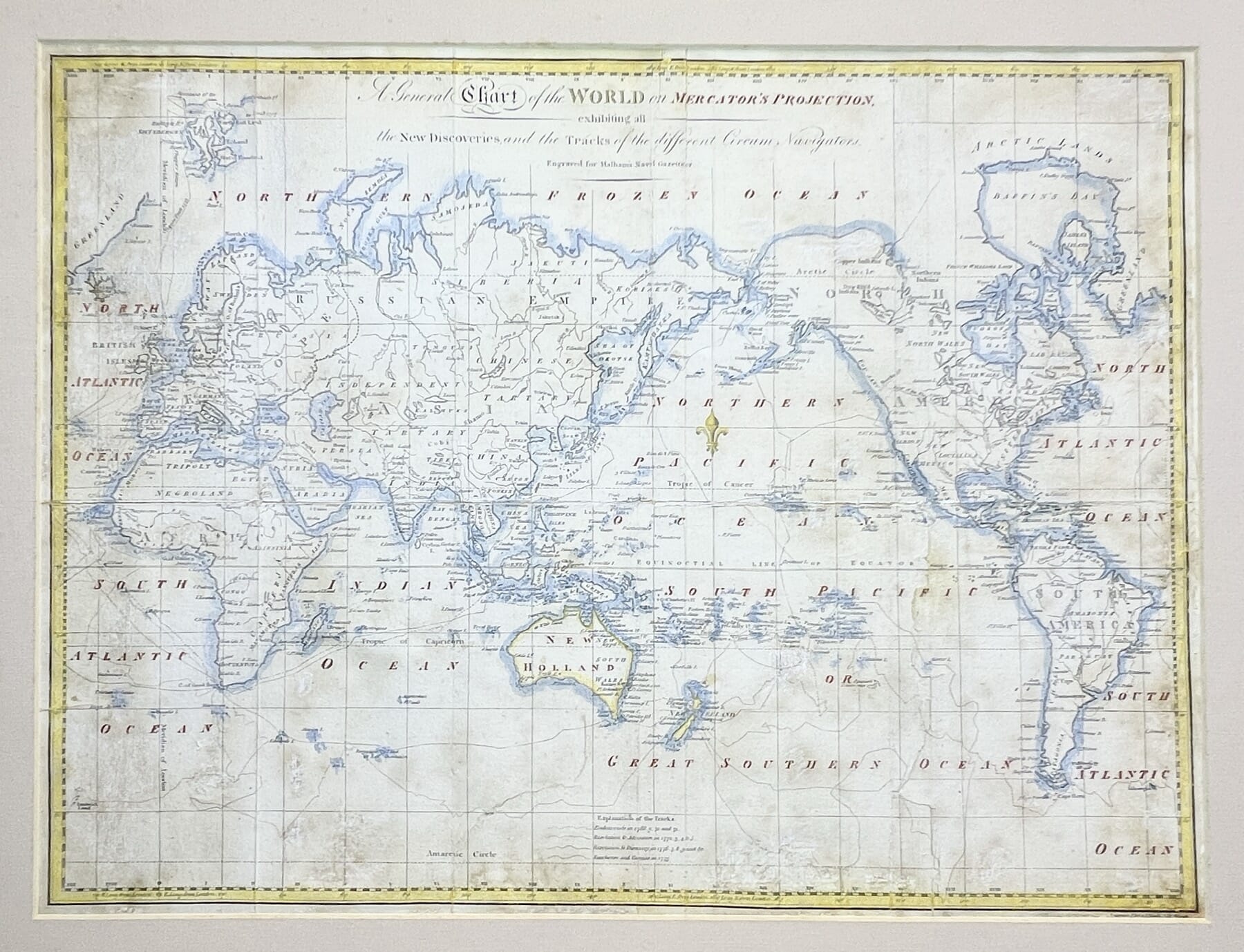
World Map, from Malham’s Naval Gazetteer, showing Botany Bay, 1795
$780.00 AUD#1030730View item -
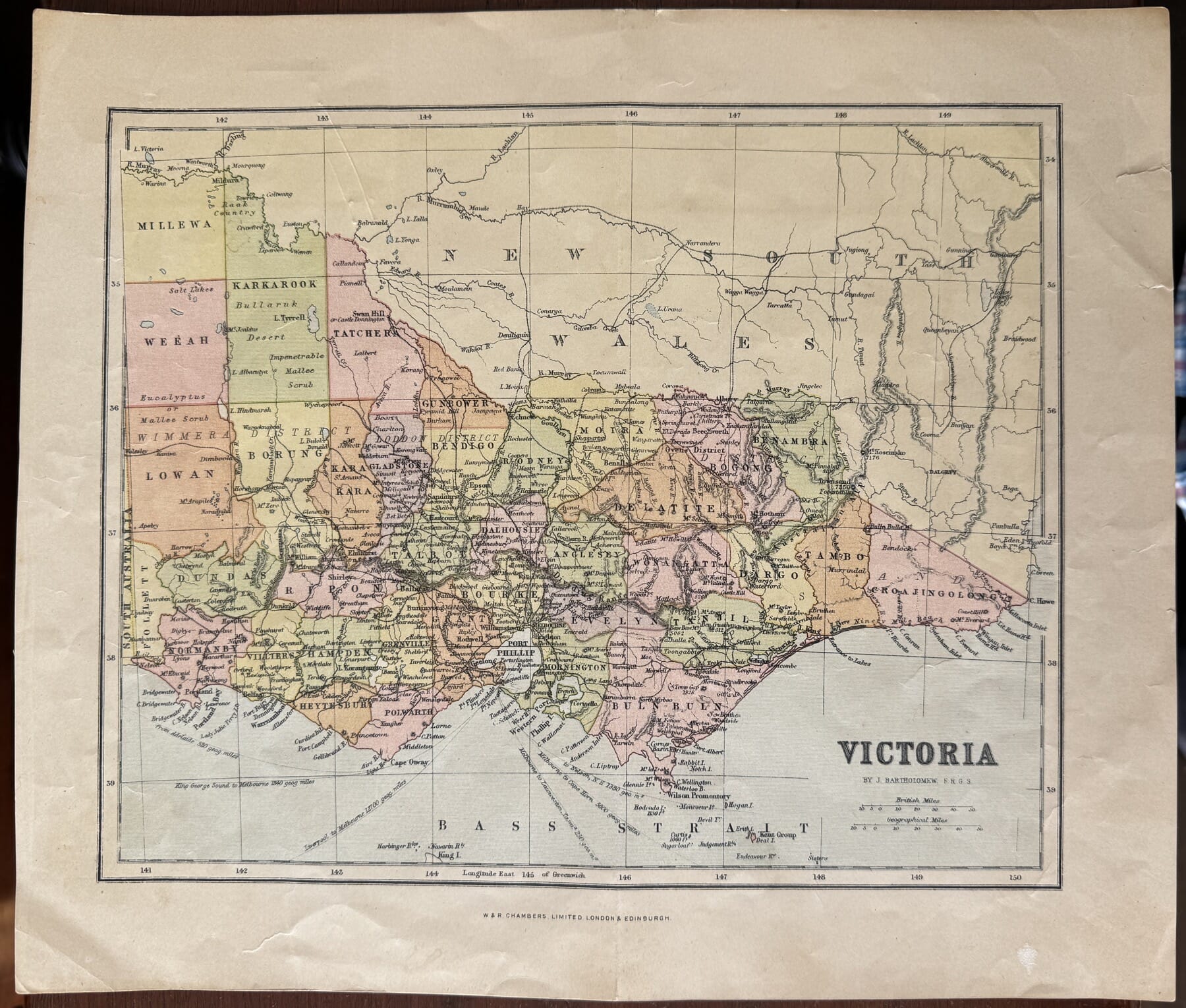
Decorative Victoria print, by Bartholomew London 1876
$85.00 AUD#1030688View item -
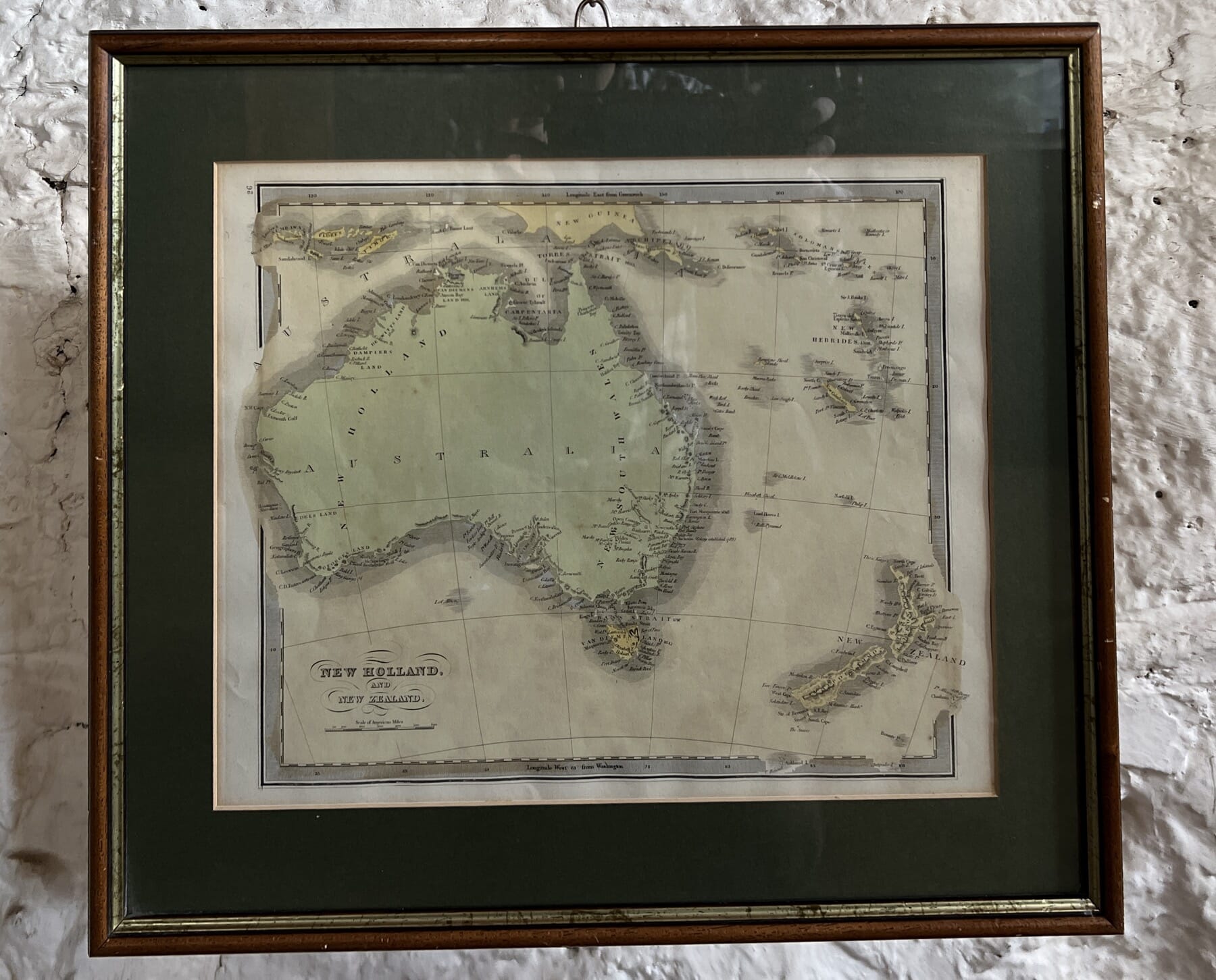
American Colonial Australia Map of Australia, ‘New Holland & New Zealand’ J.Greenleaf, c. 1848
$325.00 AUD#1020905View item -
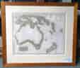
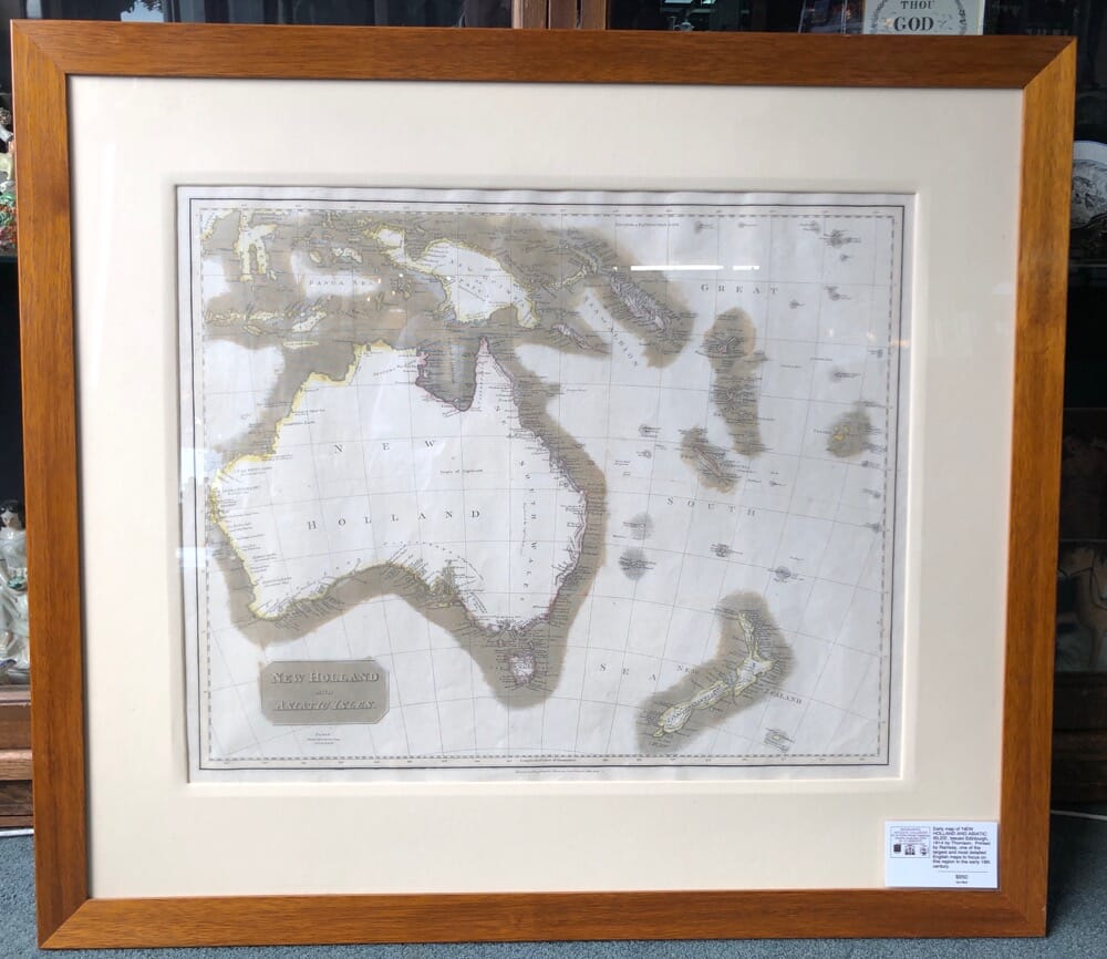
NEW HOLLAND: Thomson map of Australia & Region, 1814
Sold#1017847-1View item -
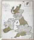
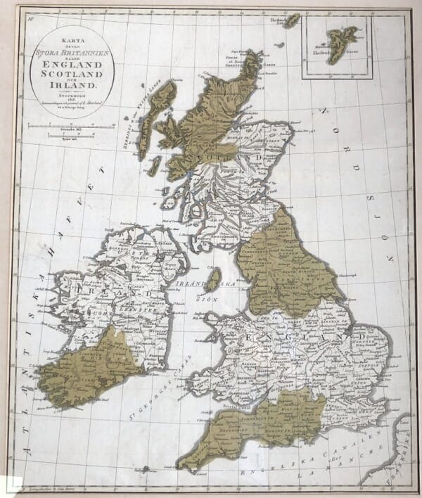
Framed print of England, Scotland and Ireland, Swedish, dated 1819
$360.00 AUD#1020164View item -
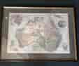
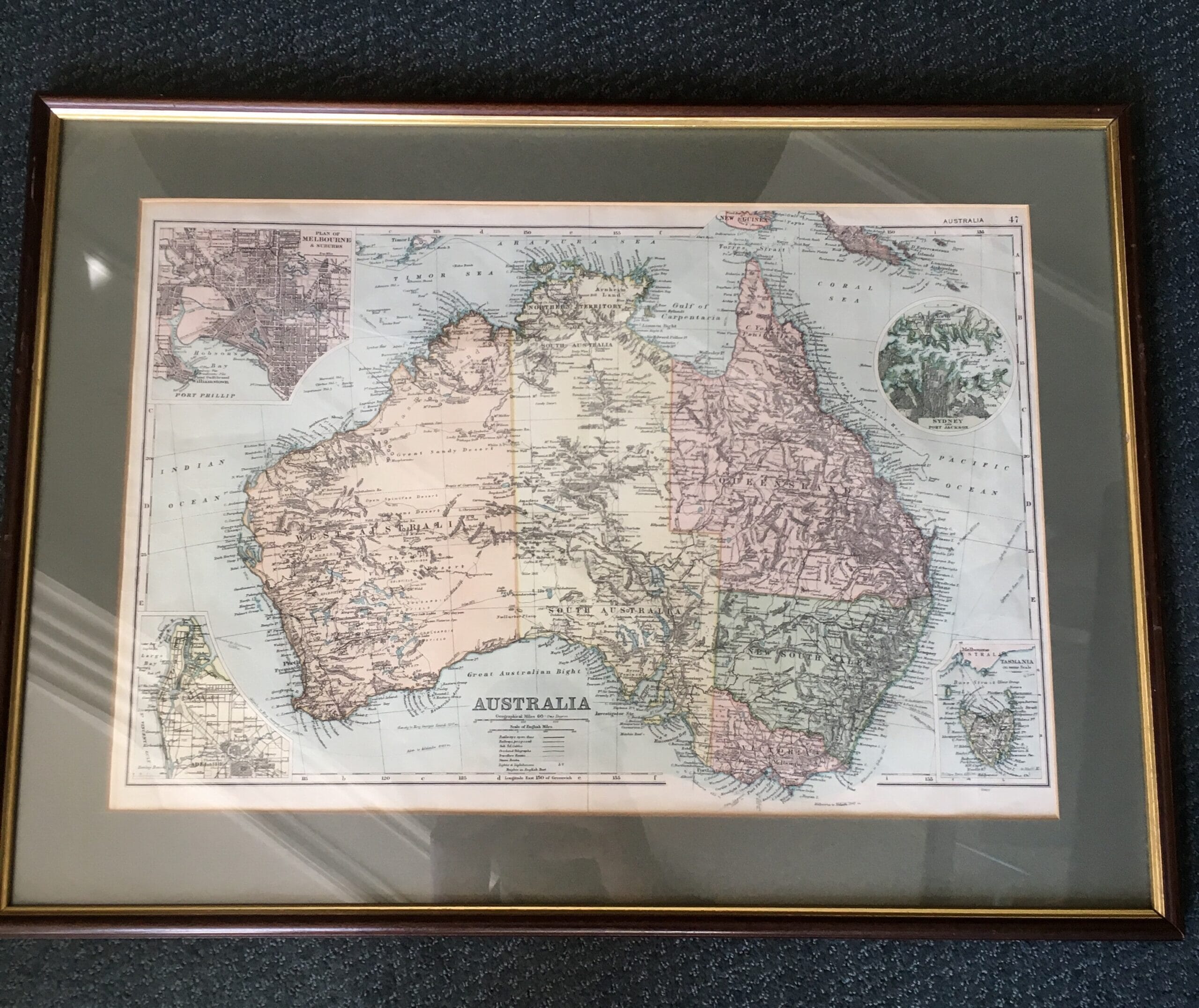
Framed printed map of Australia, Melbourne Adelaide, Sydney, c.1900
$140.00 AUD#1019654View item
Showing all 13 resultsSorted by latest